Living Along the Arcadia Canal Path by Arizona Falls
October 16, 2025
October 16, 2025
Imagine stepping out your front door and being on a paved path within minutes, heading to coffee, a neighborhood park, or a hidden waterfall powering local homes. If you love easy outdoor access and a connected lifestyle, Arcadia’s stretch of the Arizona Canal can be a perfect fit. In this guide, you’ll learn how the canal, Arizona Falls, and nearby parks shape daily life, plus what to know before buying near the water. Let’s dive in.
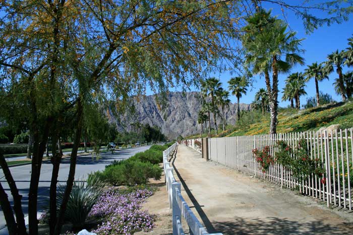
The Arizona Canal runs nearly 50 miles across the Valley and has guided Arcadia’s shift from citrus groves to established neighborhoods with mature landscaping and outdoor access. It now doubles as a recreation corridor used by walkers, runners, and cyclists on multi-use paths. For background on the canal’s history and route, see the overview of the Arizona Canal.
Arcadia’s desirability also comes from its central location, local cafés and restaurants, and proximity to outdoor destinations you can reach quickly from the canal corridor. For a neighborhood snapshot, explore this Arcadia guide.
Arizona Falls sits on the canal near Indian School Road between about 56th and 58th streets. Once an early hydropower site, it was restored in 2003 as a public art space, small hydroelectric plant, and neighborhood gathering spot. The facility generates up to about 750 kW, roughly enough to power around 150 homes, and offers shaded seating, interpretive art, and a pedestrian bridge. Learn more on the official SRP Arizona Falls page.
Adjacent G.R. Herberger Park serves as a trailhead and a convenient place to meet up for a walk or ride along the canal.
SRP and city partners have developed more than 80 miles of paved, ADA-accessible canal trails across the Valley. Many segments include lighting, art, and access points at neighborhood streets. For maps, rules, and safety guidance, see SRP’s canal trails map and FAQ.
From Arcadia, head west toward the Biltmore area or the Scottsdale Waterfront, or go east toward Sunnyslope and beyond. Connectivity is strong overall, but some intersections are at-grade while others have underpasses or signals. Plan your route, use marked crossings, and choose the canal bank or nearby streets that feel safest for your trip.
This neighborhood park offers a playground, ramadas, a ball field, and restrooms, with typical Phoenix Parks hours posted on-site. It is a simple, easy-access option for quick outings with friends or pets. Check amenities on the City of Phoenix’s Arcadia Park page.
Right next to Arizona Falls, this park provides parking, trail access, and shaded spots to cool down after a ride or run. The falls’ viewing area and public art make it a natural meetup point before heading along the canal.
Papago Park and the Desert Botanical Garden are a short drive from Arcadia, giving you even more hiking and desert scenery options. For ideas on what to explore, browse the Arcadia neighborhood guide.
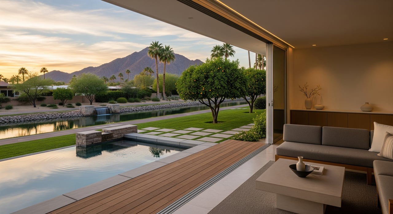
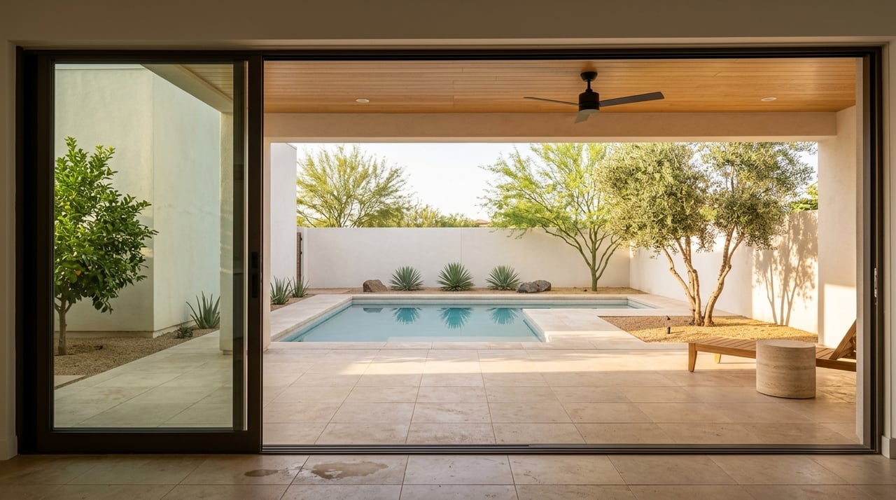
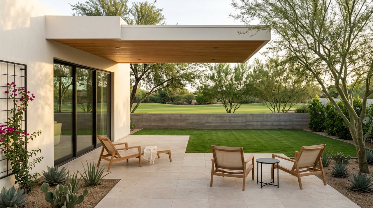
If your day starts or ends outdoors, canal proximity is hard to beat. You can walk, run, or bike on paved paths and link up with nearby cafés and restaurants. The scenery around Arizona Falls adds public art and water features, creating a unique local backdrop.
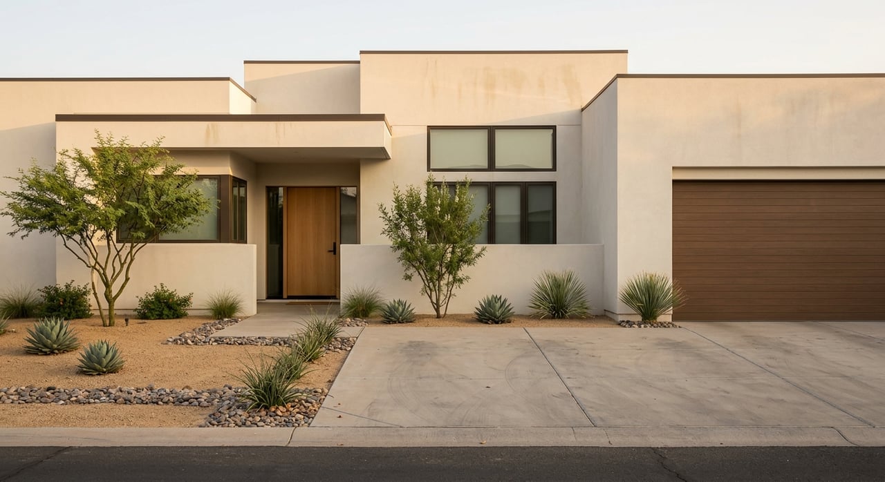
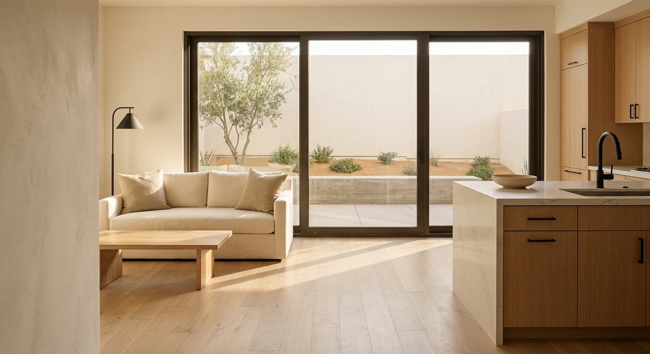
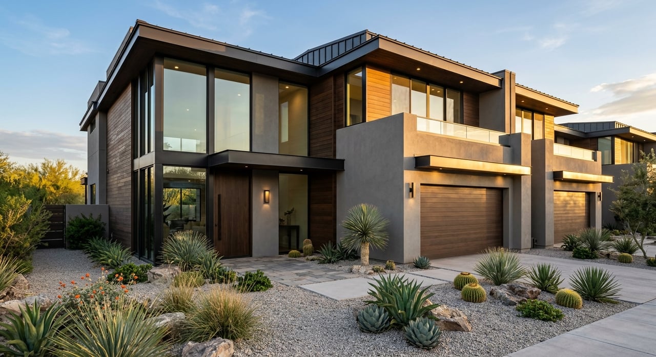
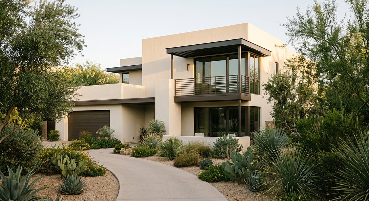
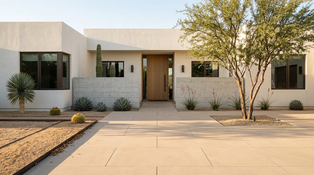
Arcadia is a premium Phoenix submarket, with larger lots, mature landscaping, and a central location that tends to command higher prices. Seven-figure and multi-million dollar sales occur here, though exact pricing varies with the market. For recent local context, see this Arcadia market feature.
If canal-side living speaks to you, you deserve a team that pairs local insight with precise, full-service execution. From scouting on- and off-market options to managing a smooth escrow, The Ackerman Team is ready to help you compare homes near the canal, Arizona Falls, and Arcadia’s parks so you can move with confidence.
May 21, 2026

May 14, 2026
May 7, 2026
April 23, 2026
April 16, 2026
April 2, 2026
March 24, 2026
Real Estate
March 6, 2026
March 5, 2026
The Ackerman Team is dedicated to providing you with exceptional service and unparalleled expertise. Reach out to us today.